Points of interest
Points of interest
Let the journey begin!
Number of results: 659
.jpg/c5acdf20-6ac7-7e7c-cef4-188cd8948fda)

Monument to Fallen Fighters of Ljesanska nahija
Montenegro
81000 Podgorica
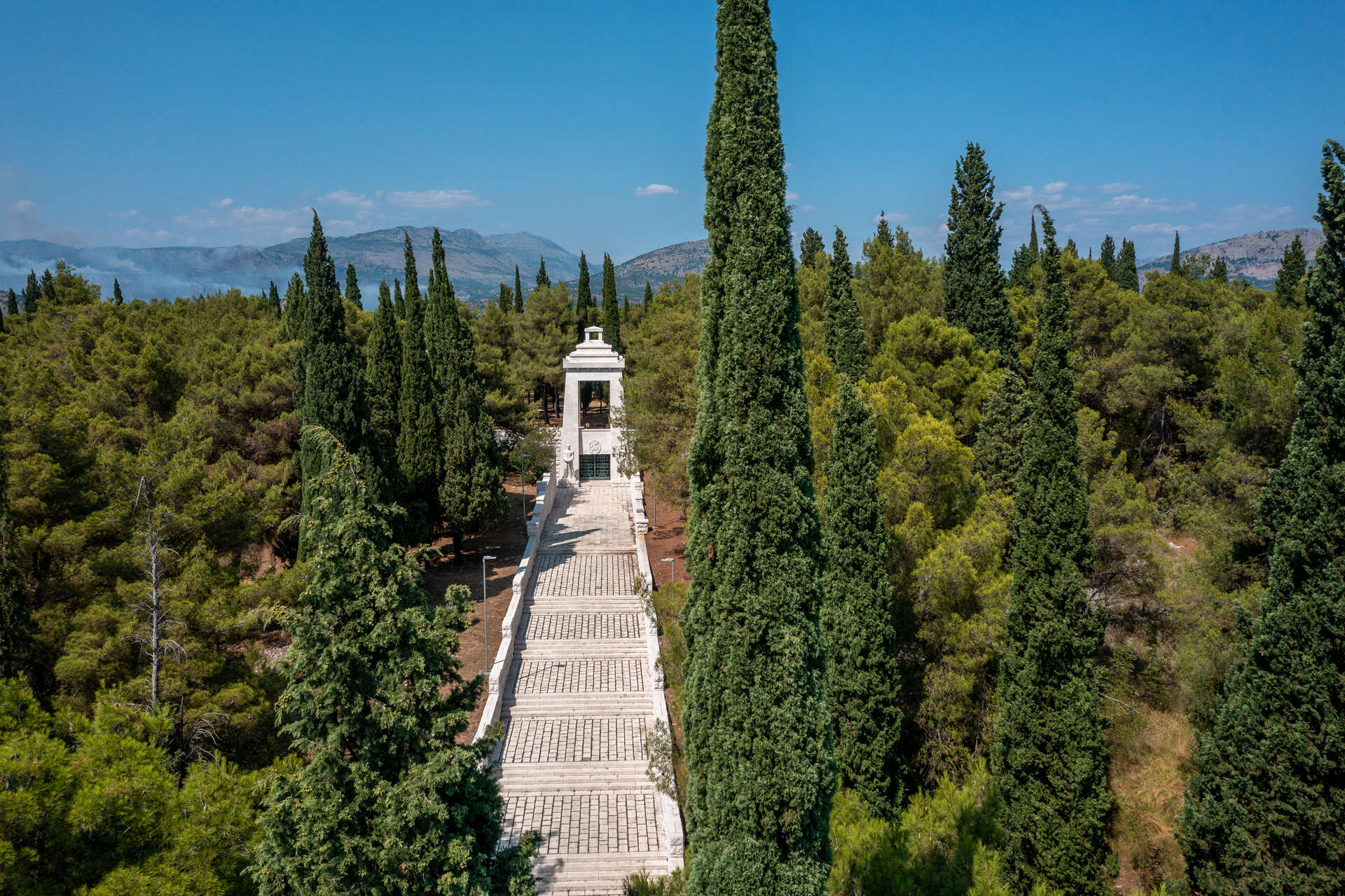
Gorica Hill
Montenegro
81000 Podgorica
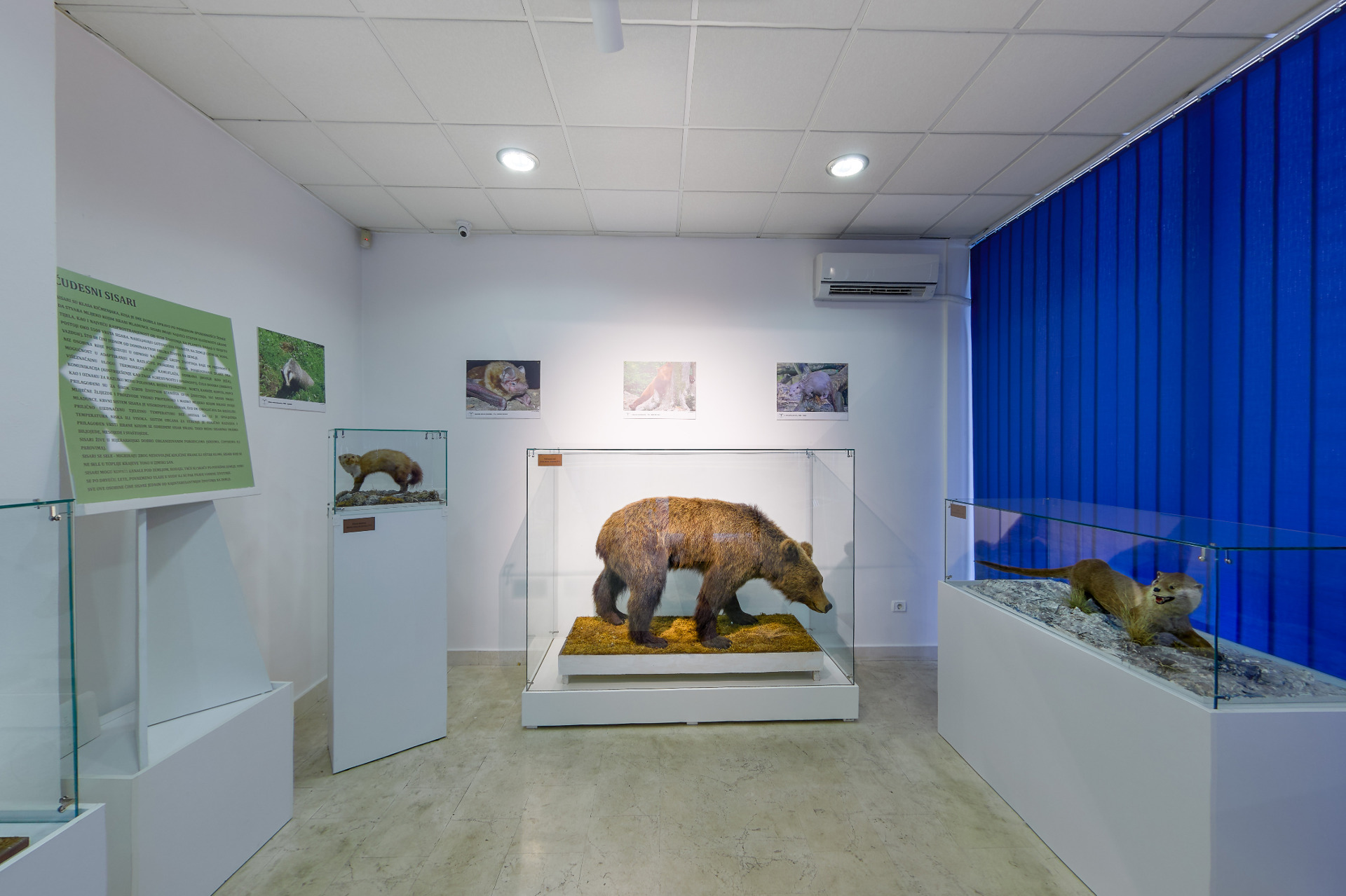
Natural History Museum
Montenegro
81000 Podgorica
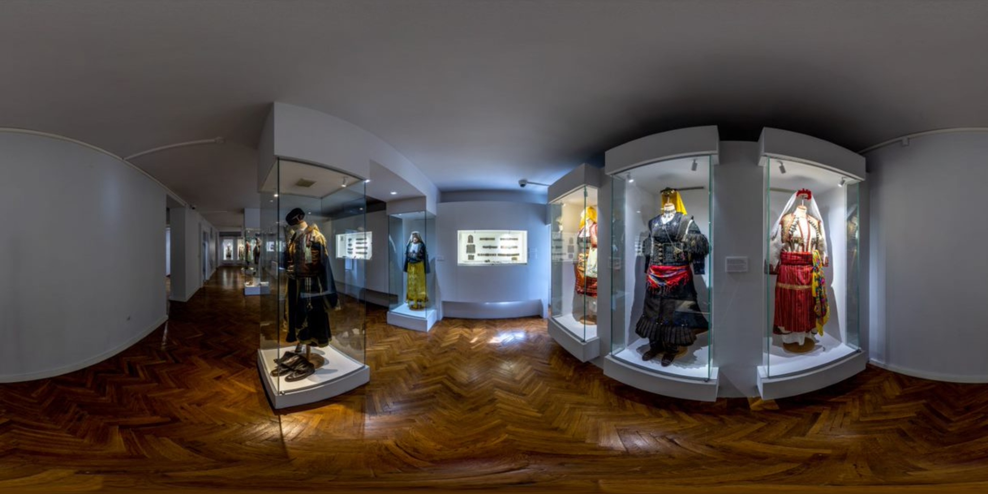
Ethnographic Museum
Montenegro
81 250 Cetinje
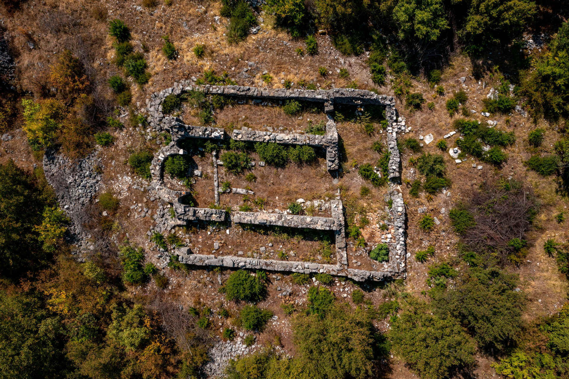
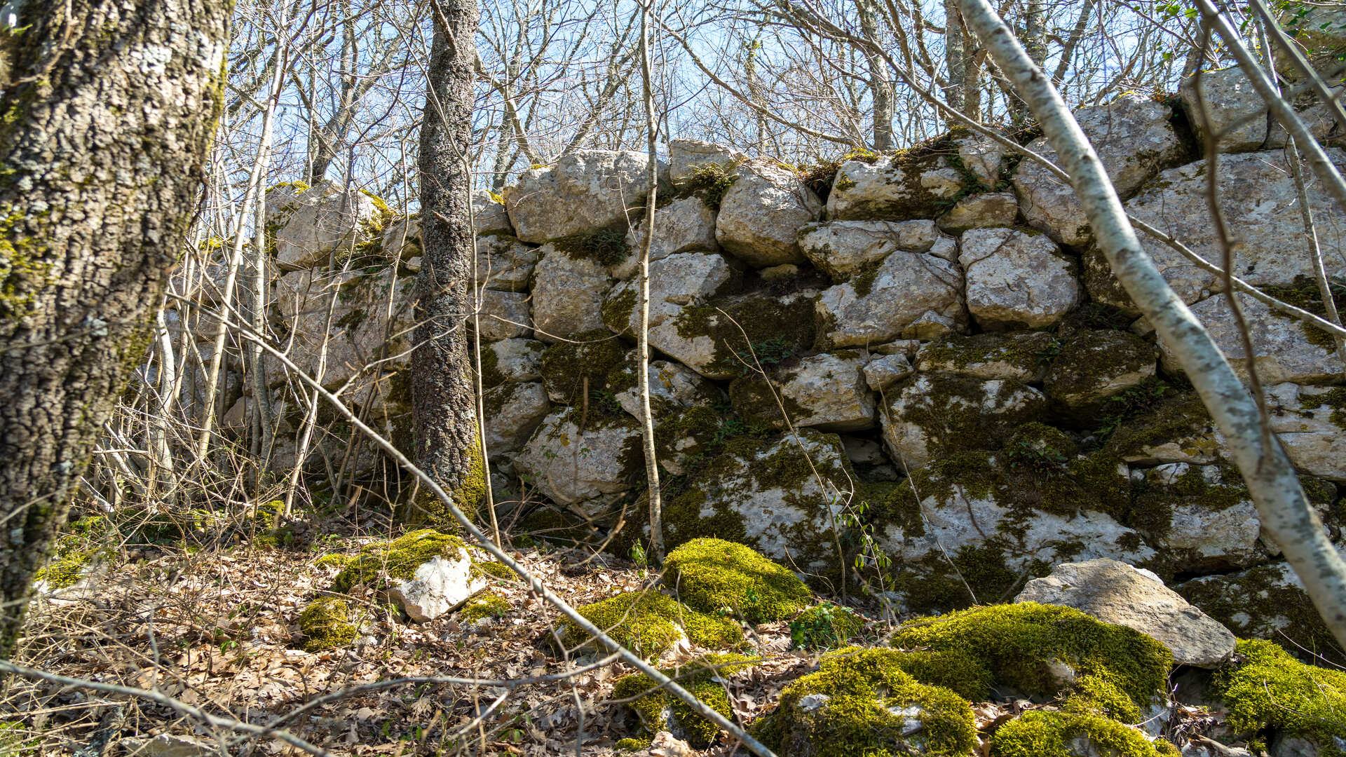
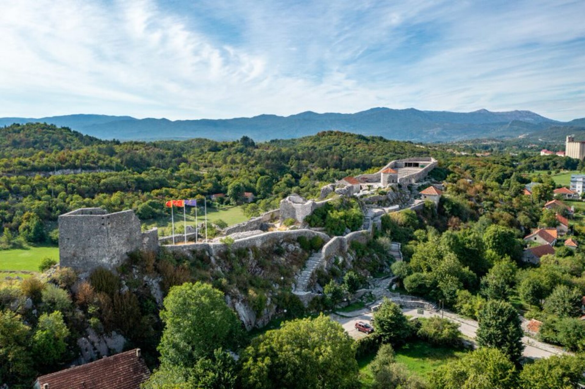
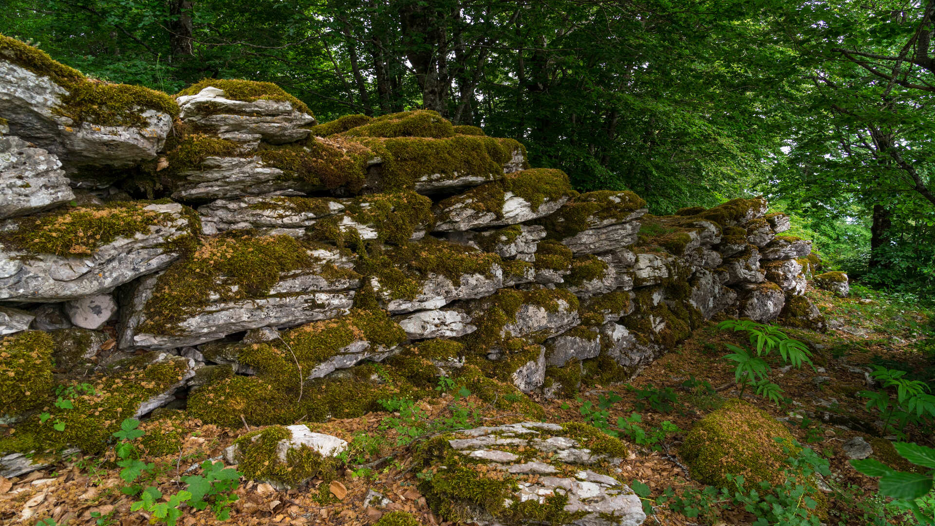
Fortress Martinica Gradina
Montenegro
81410 Danilovgrad
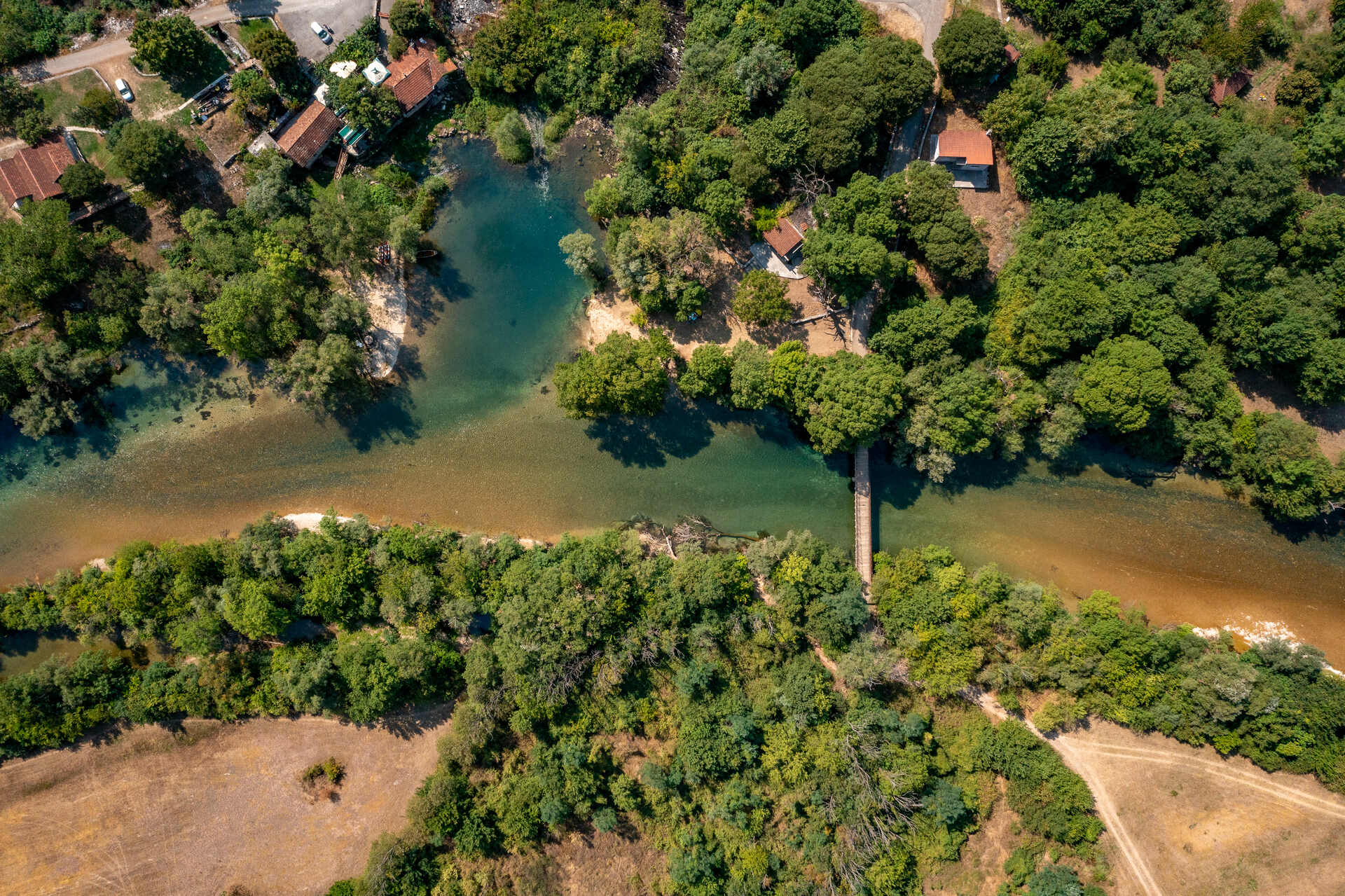
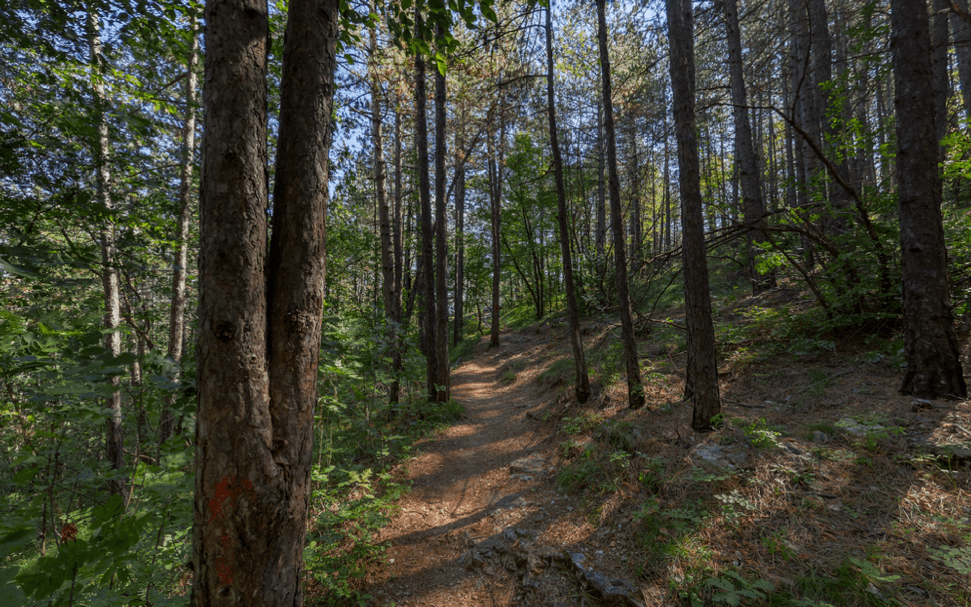
Nature Park Zeta River
Montenegro
81410 Danilovgrad
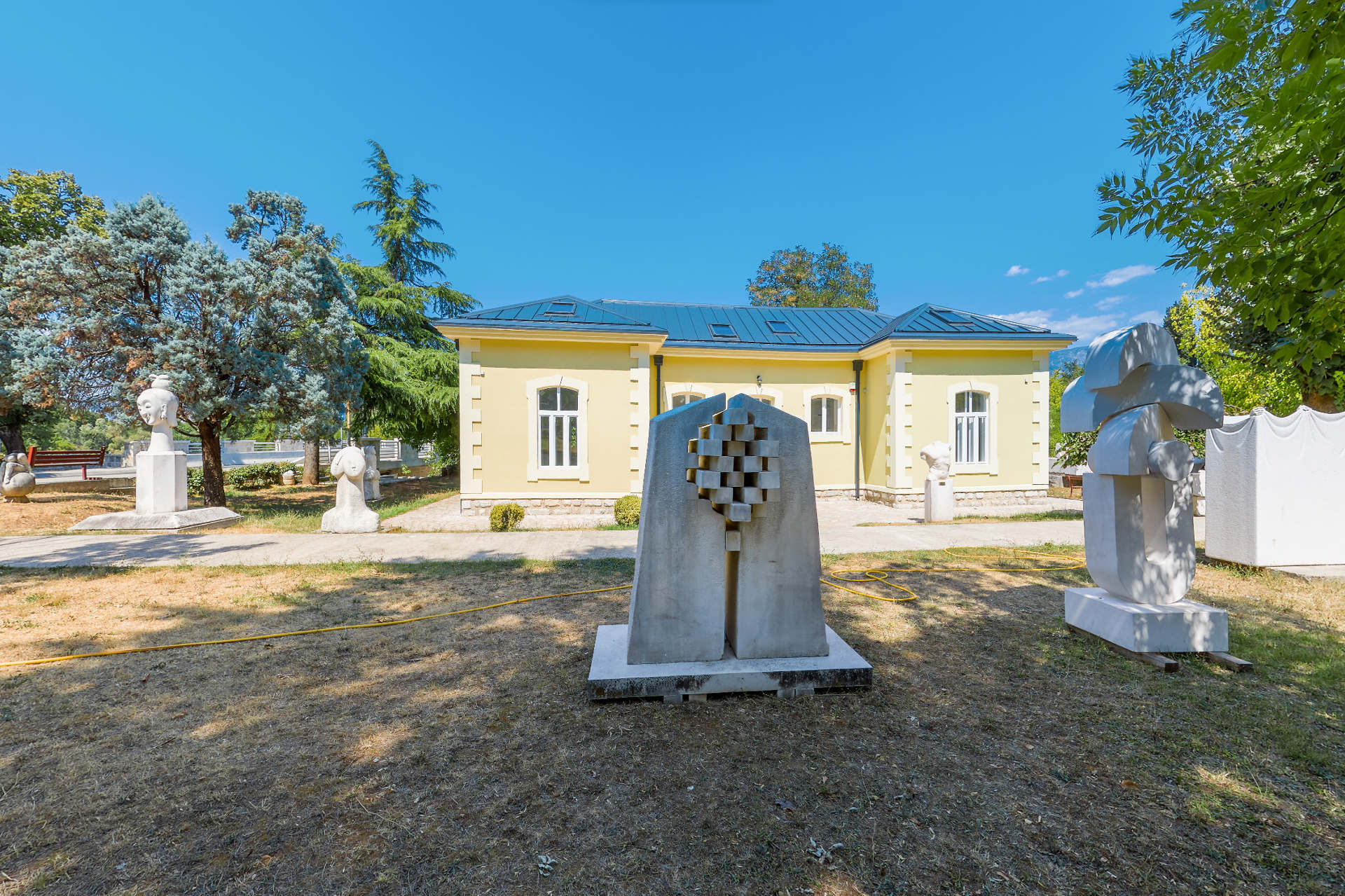
Artistic Colony
Montenegro
81410 Danilovgrad
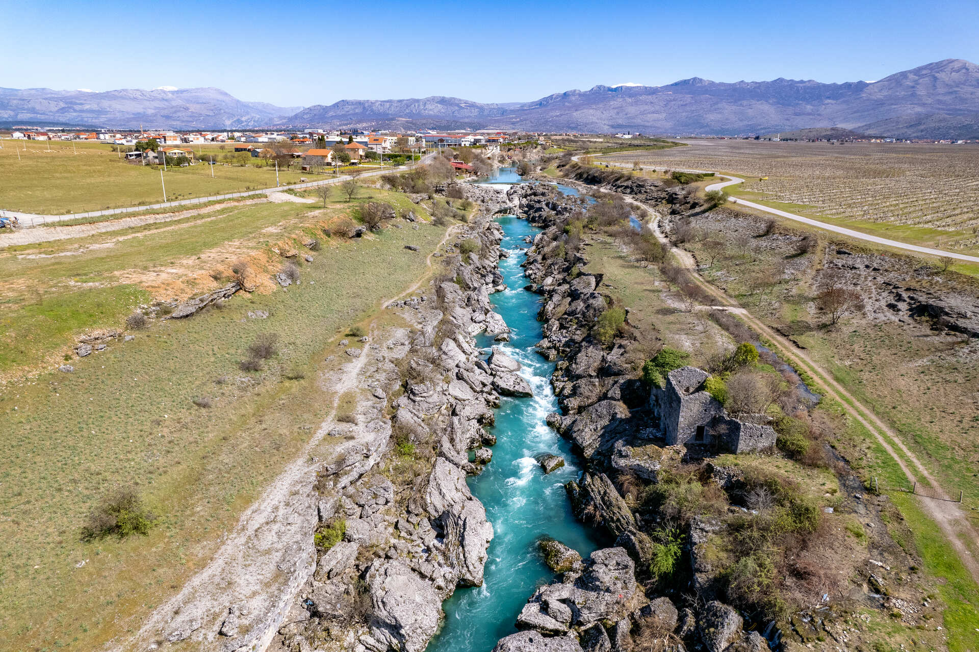
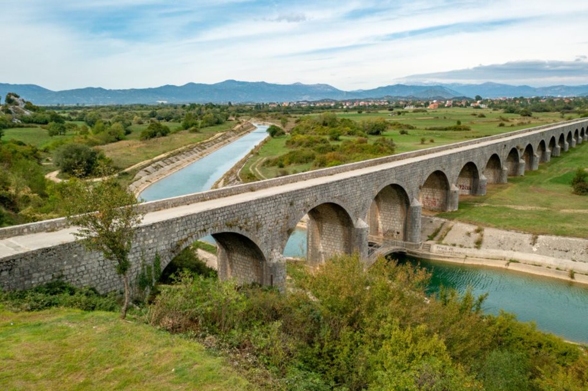
River Cijevna and Canyon
Montenegro
81206 Tuzi
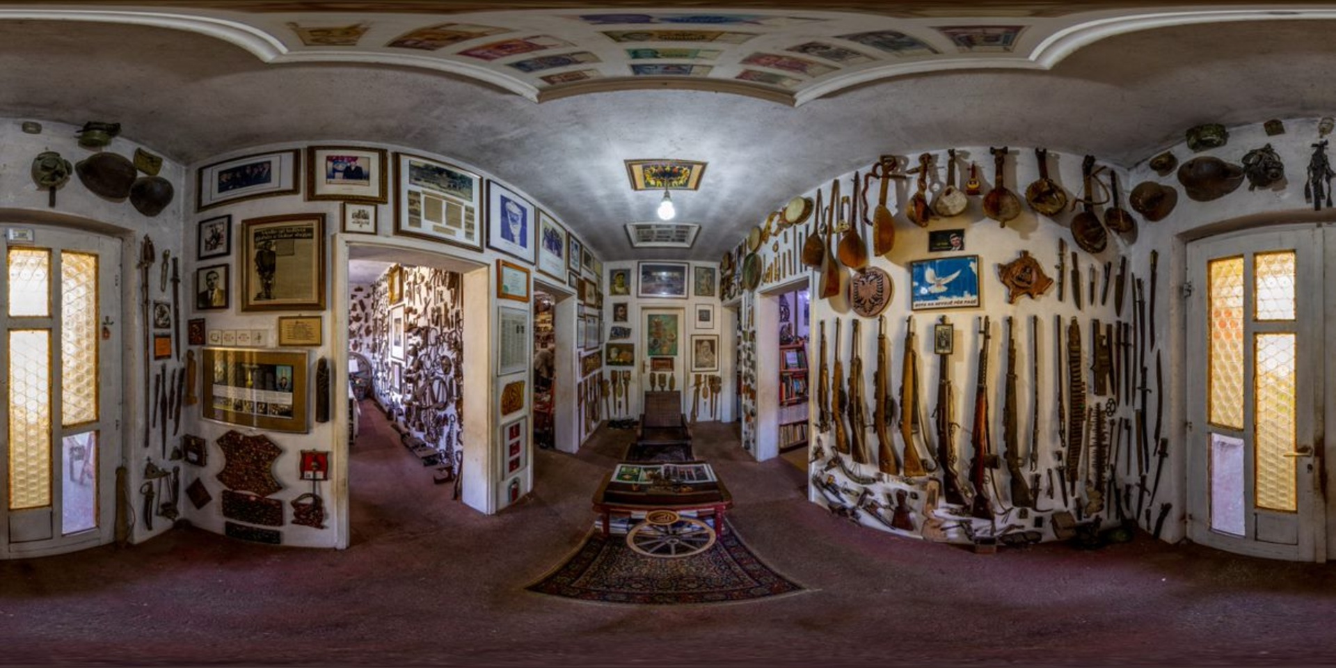
Ethnological Museum
Montenegro
81206 Tuzi
Old town Onogost
Montenegro
81 400 Niksic
Remarkable area "Trebjesa"
Montenegro
81 400 Niksic
Tsar's bridge
Montenegro
81 400 Niksic
.jpg/d45e721d-86b9-dd8f-3189-b40e127ea791)

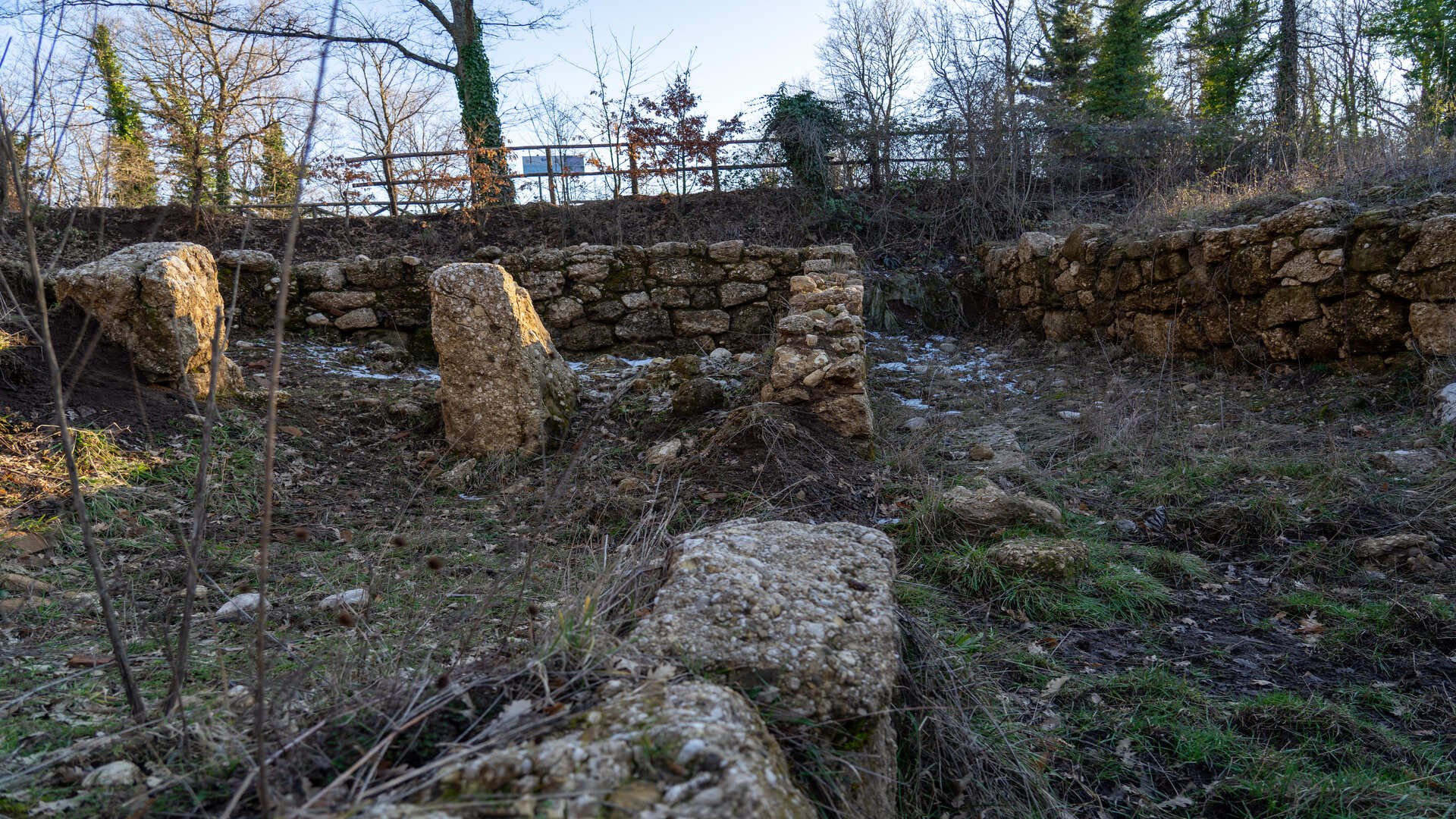
Monte Crocella Bojano
Molise
Abitato Sannitico di Montevairano Baranello
Molise
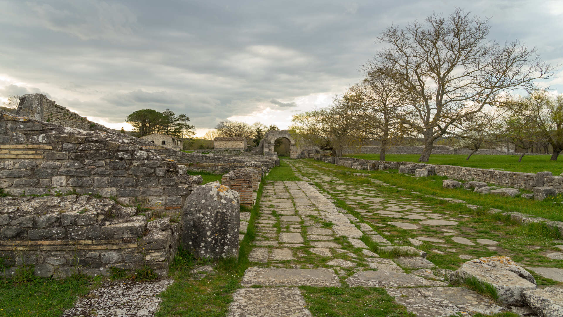
Altilia
Molise
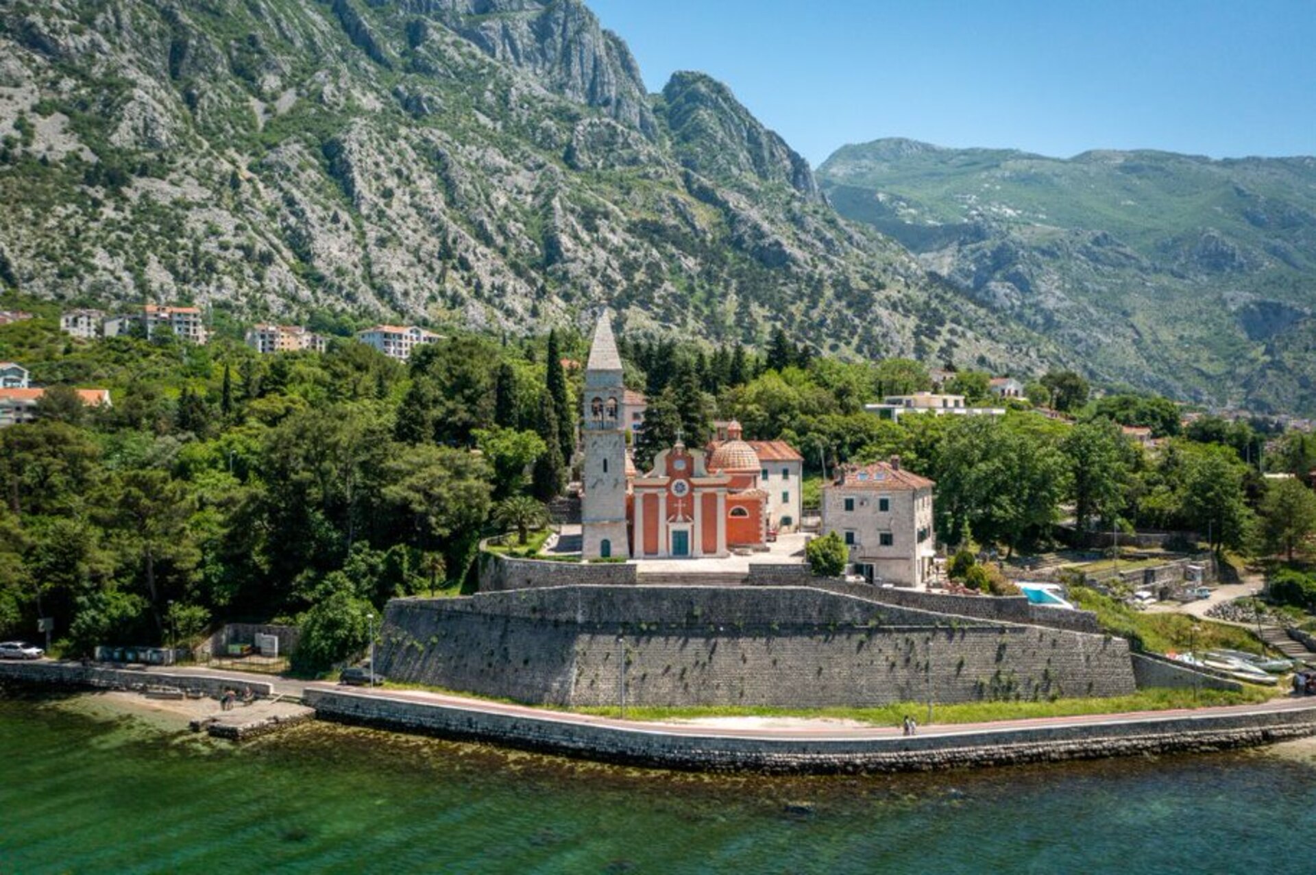
Church of St. Matthew
Montenegro
85 331 Dobrota, Kotor
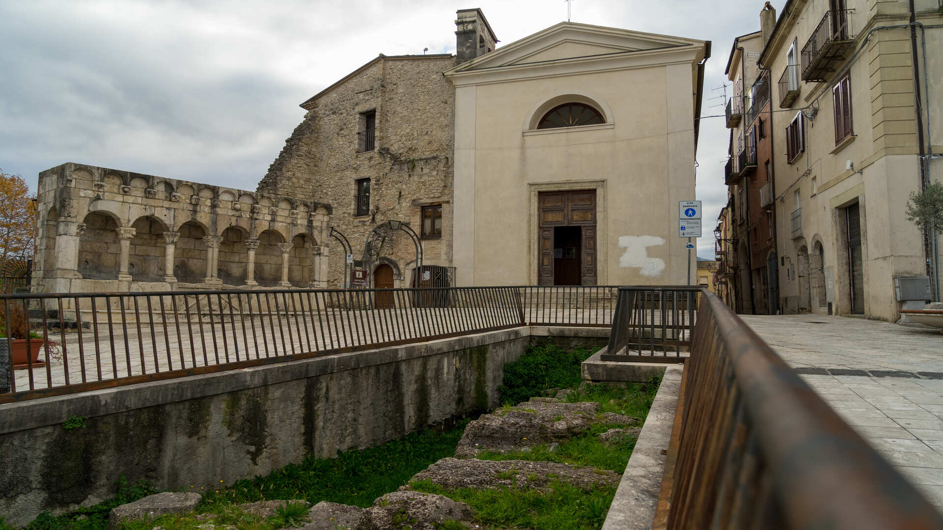
Piazza San Pietro Celestino V Isernia
Molise
.jpg/f6f41f64-a1ef-5d04-e8d4-241098e4a079)
Civita di Duronia
Molise
Monte Cavallarizzo Capracotta
Molise