
Points of interest
Points of interest
Let the journey begin!
Number of results: 659
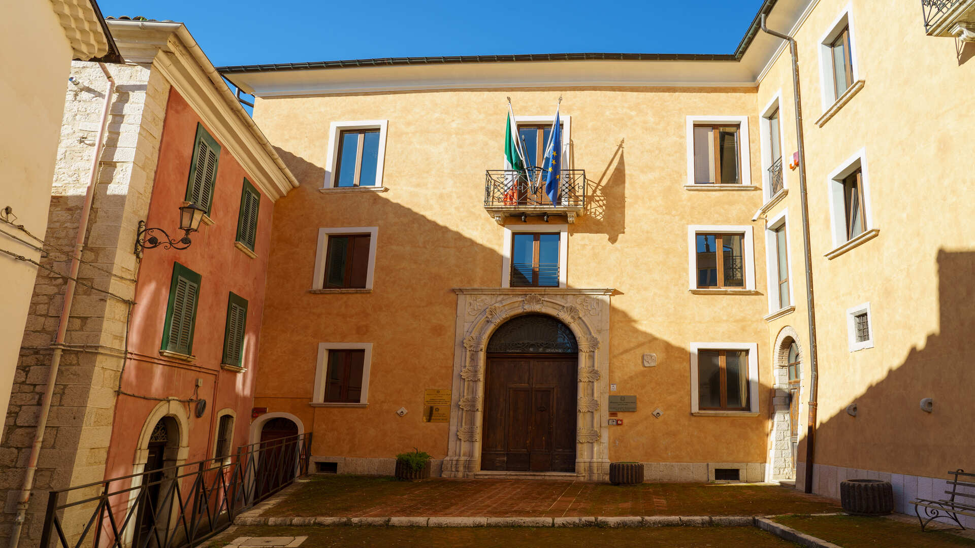

Palazzo Japoce a Campobasso
Molise
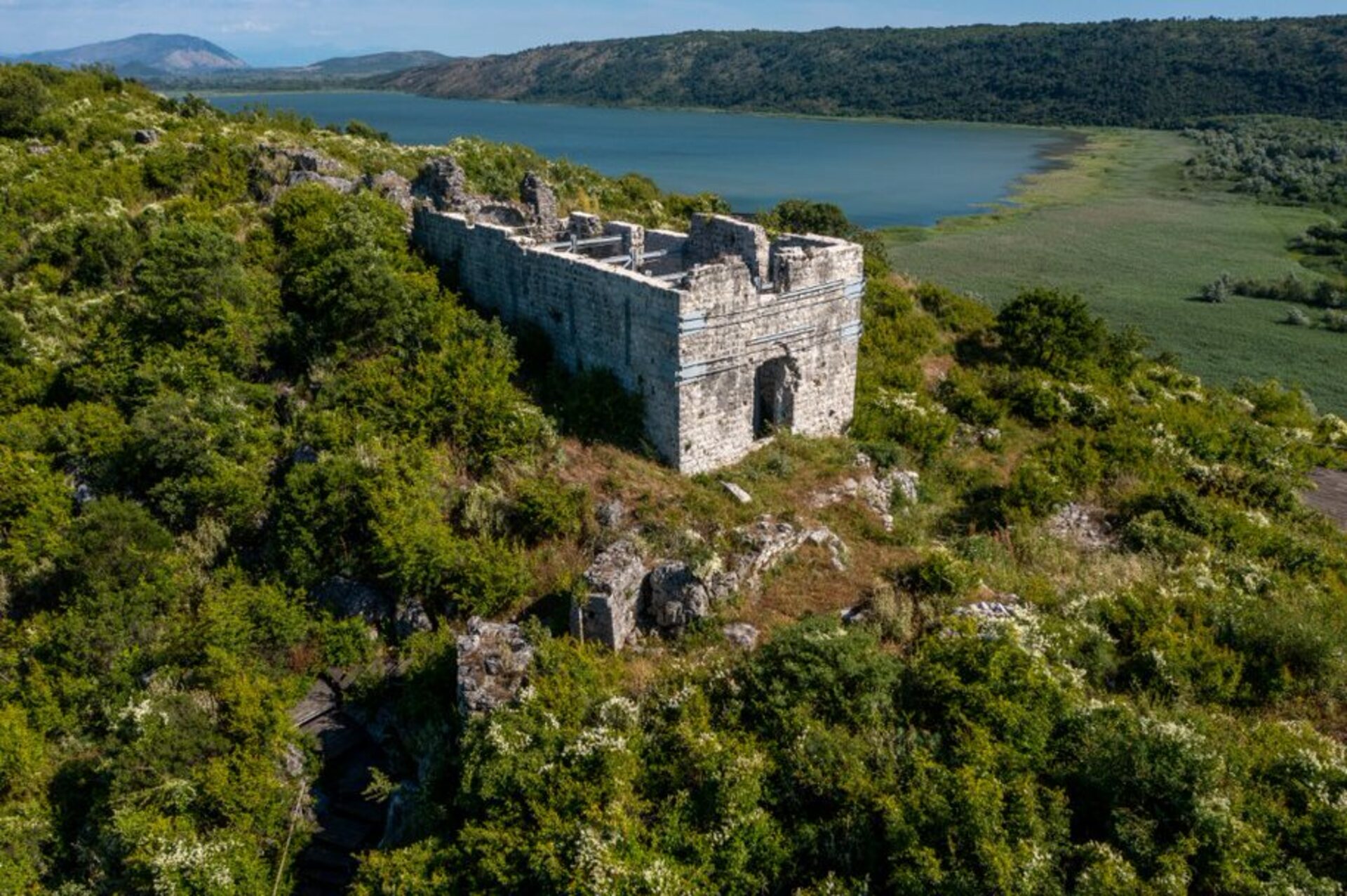

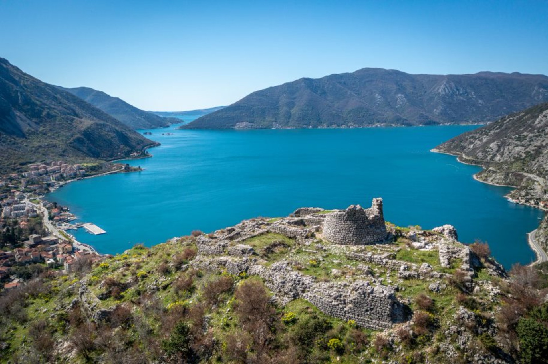
Medieval town Svač
Montenegro
85 366 Vladimir, Ulcinj
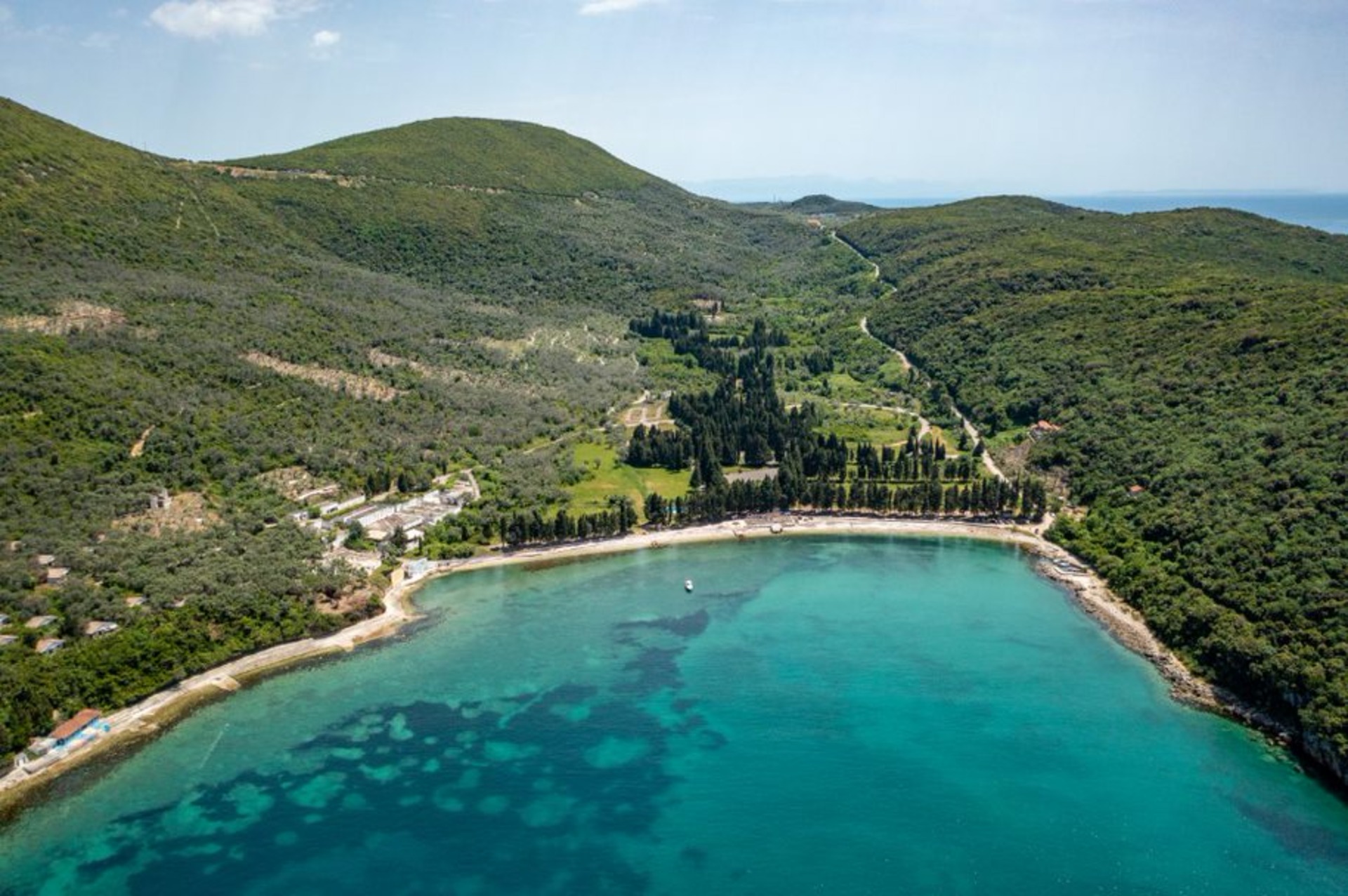
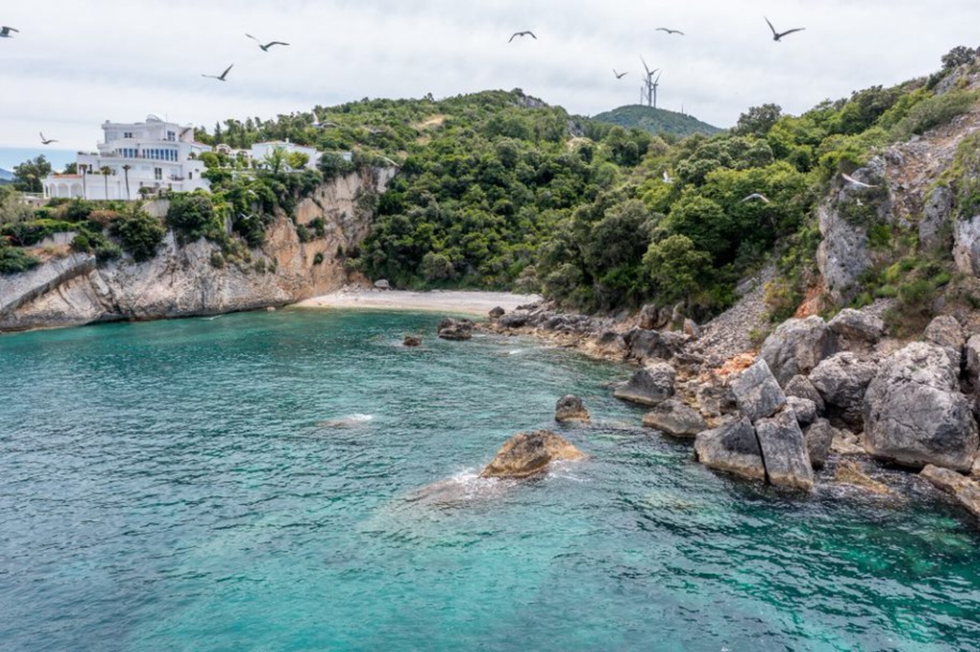
Valdanos Bay
Montenegro
85 360 Ulcinj
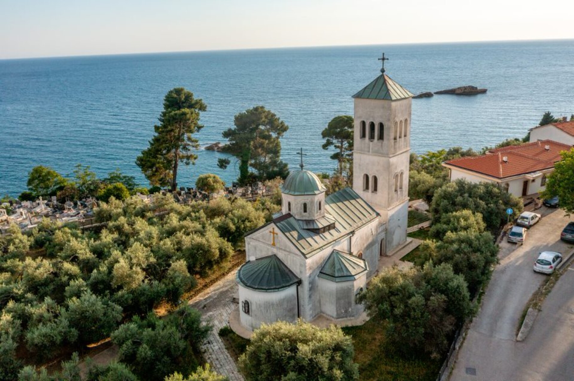
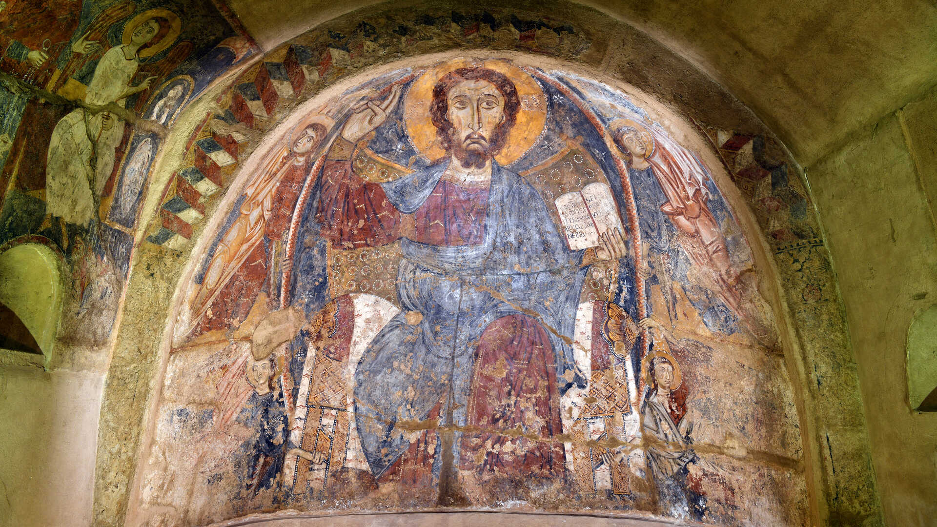
Church of St. Nicholas
Montenegro
85 360 Ulcinj
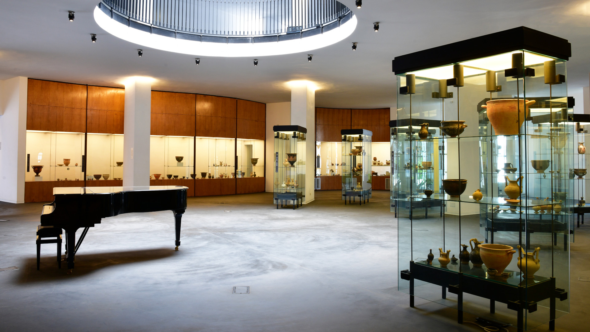

Museo Sigismondo Castromediano
Puglia
.jpg/ee97b4ba-d4ae-7dd1-4b06-924435490cd1)
Velika plaža and Ada Bojana
Montenegro
85 360 Ulcinj
.png/e4888176-3263-8d95-e5dd-fab384415801)
Summer house Buća - Luković
Montenegro
85 320 Tivat
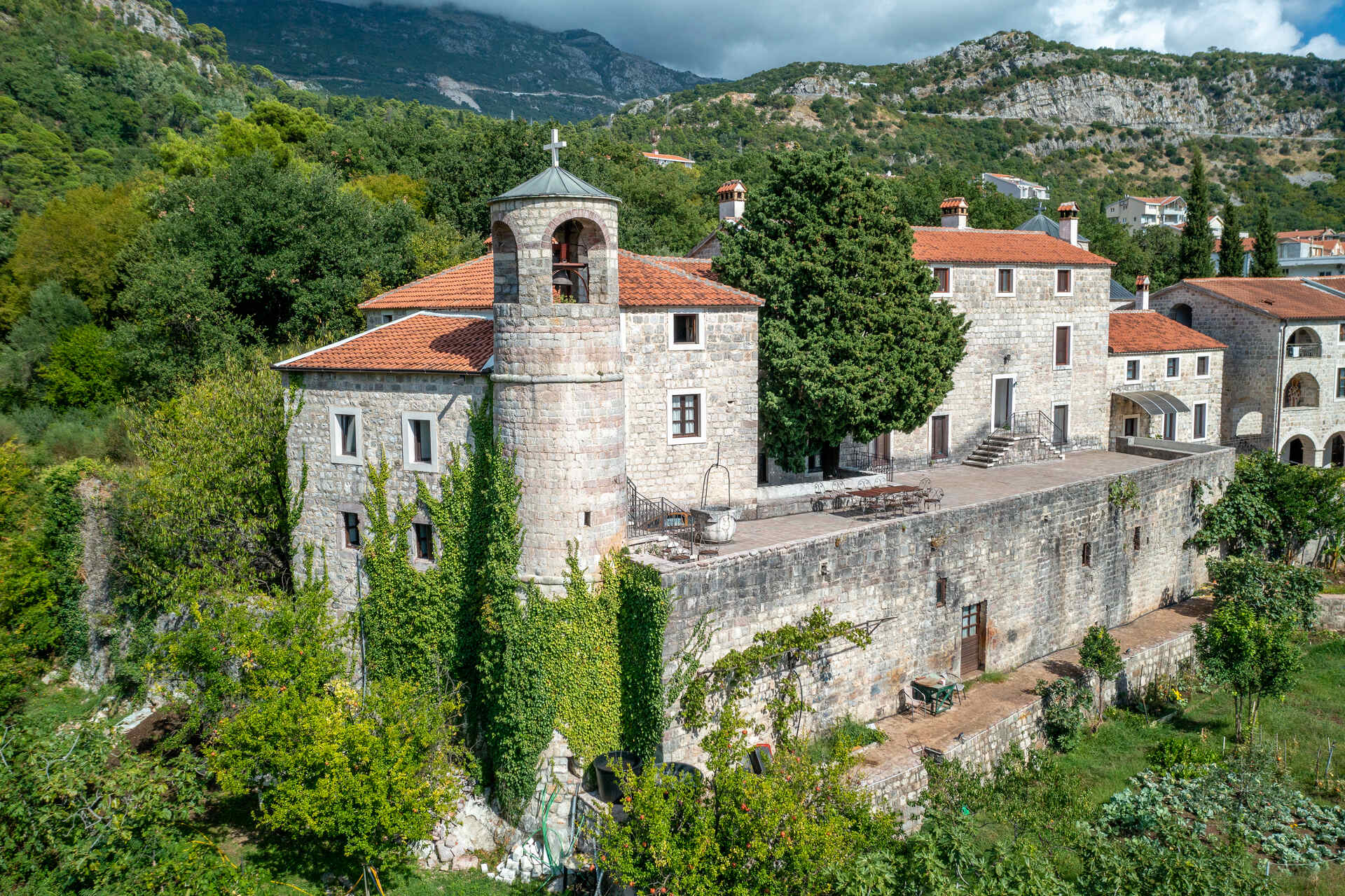
Podostrog Monastery - Podmaine
Montenegro
85310 Budva
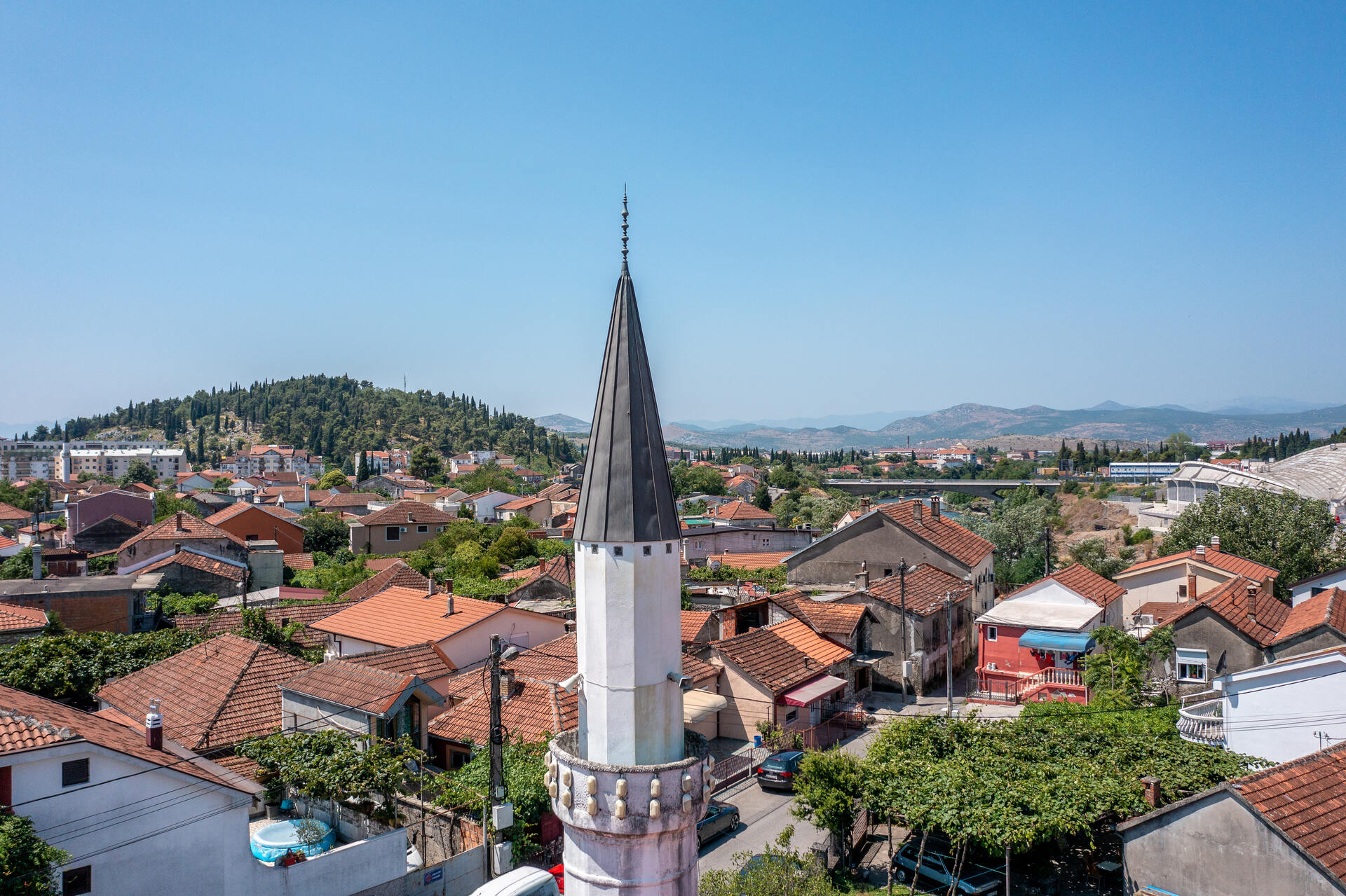
Starodoganjska Mosque
Montenegro
81000 Podgorica
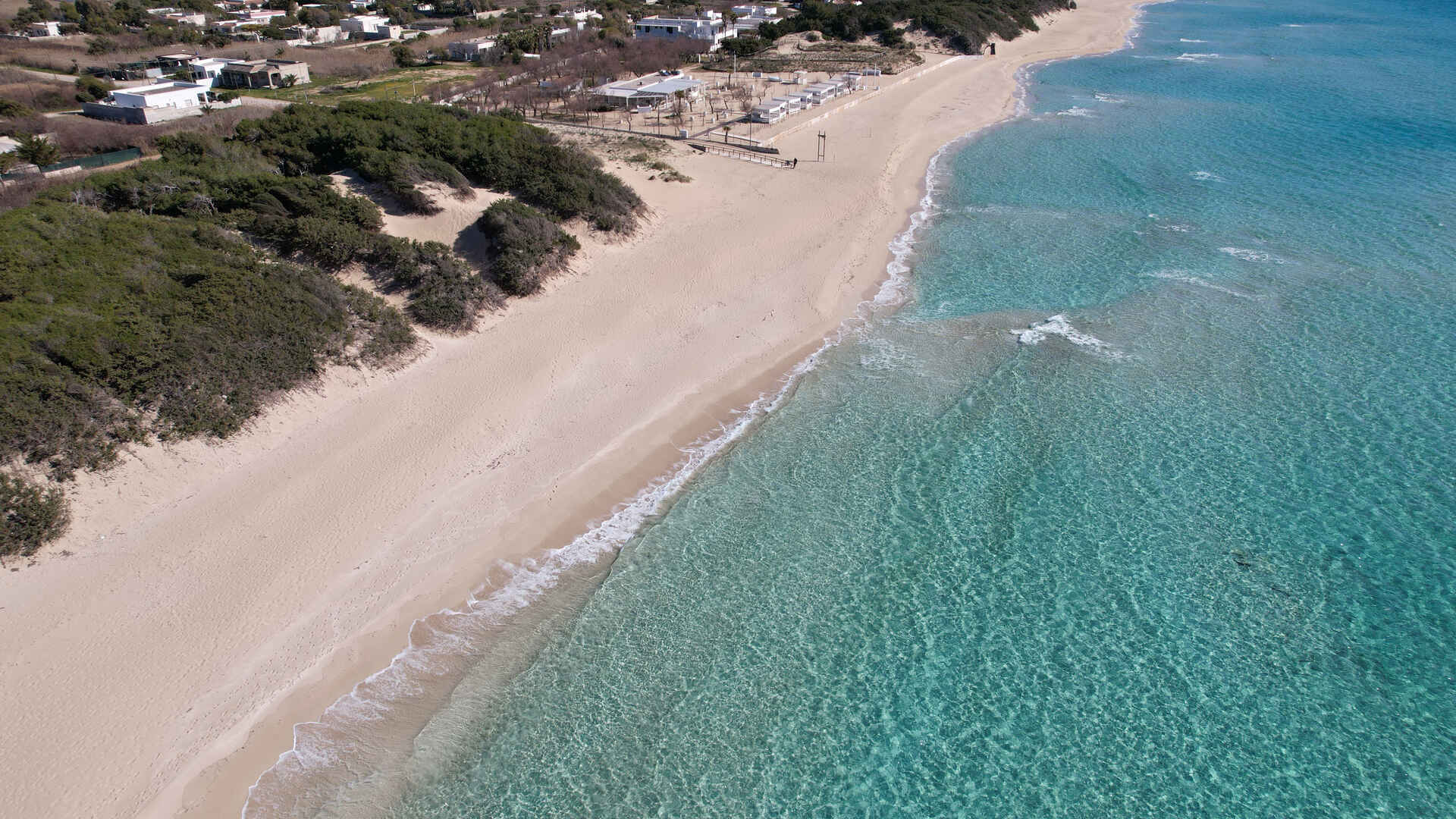
Dune di Punta Prosciutto
Puglia
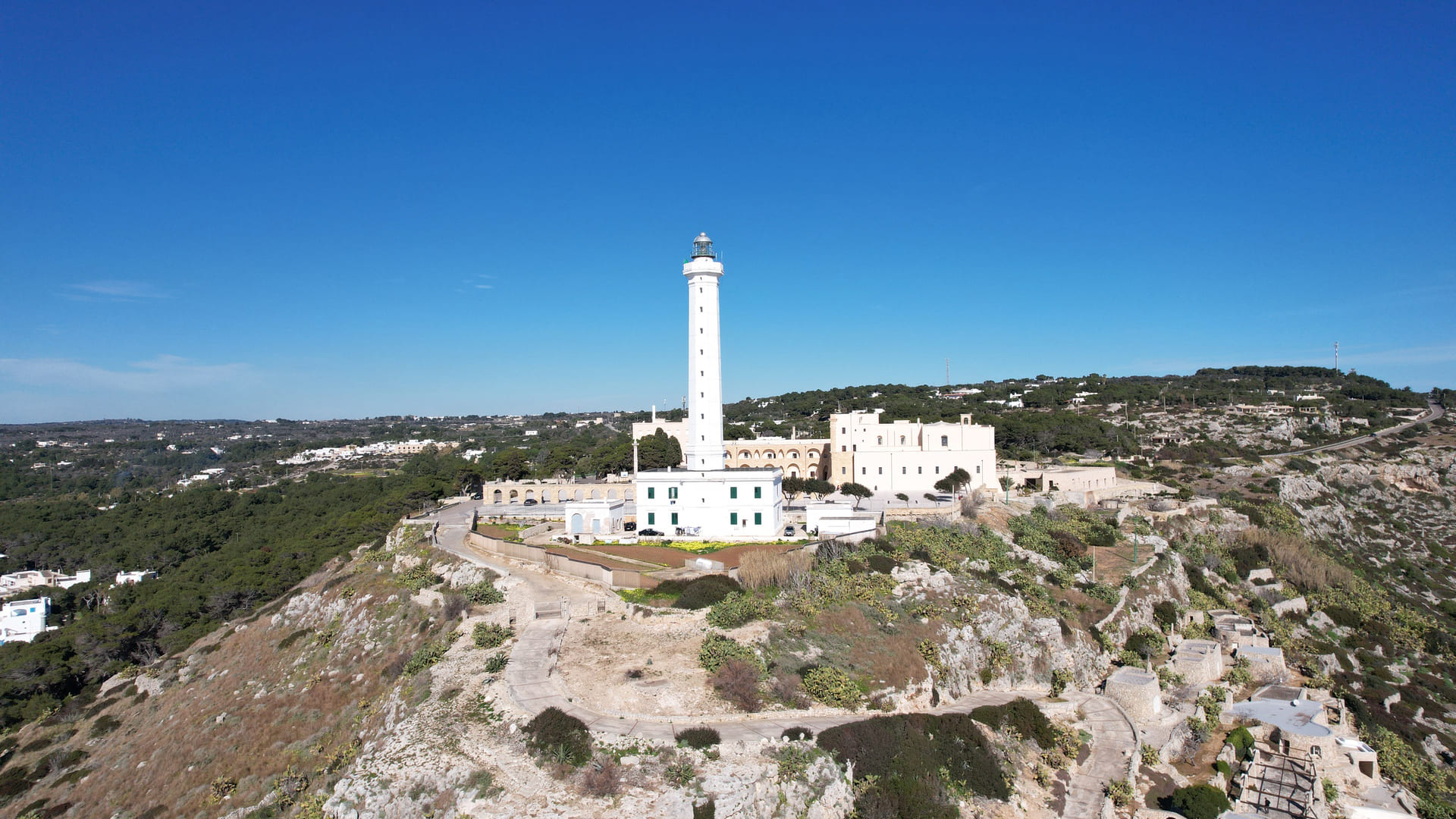
Complesso del Santuario di Santa Maria de Finibus Terrae e del Faro di Leuca
Puglia
Lago di Varano
Puglia
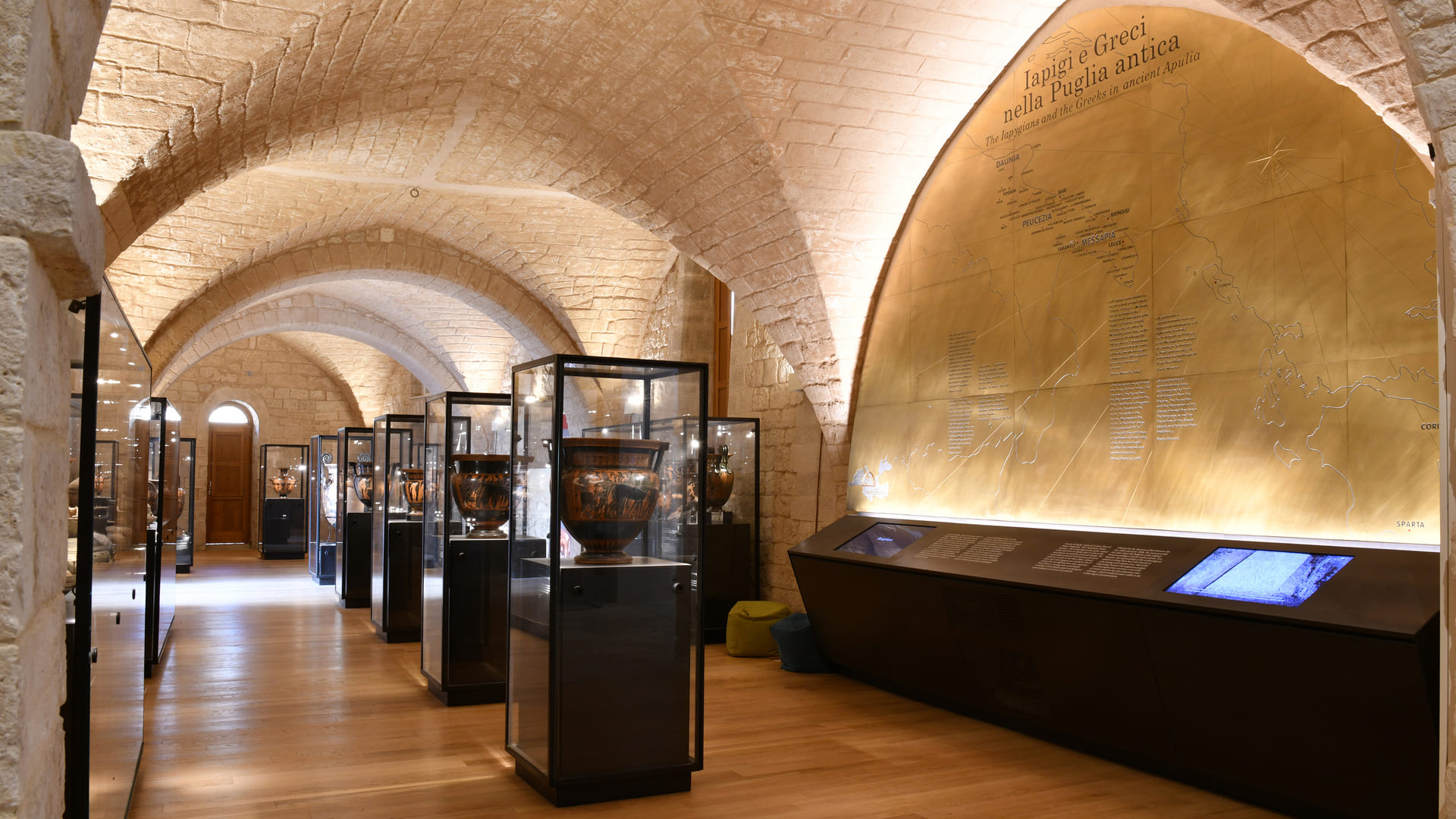
Museo Archeologico di Santa Scolastica
Puglia
Cattedrale di San Sabino
Puglia
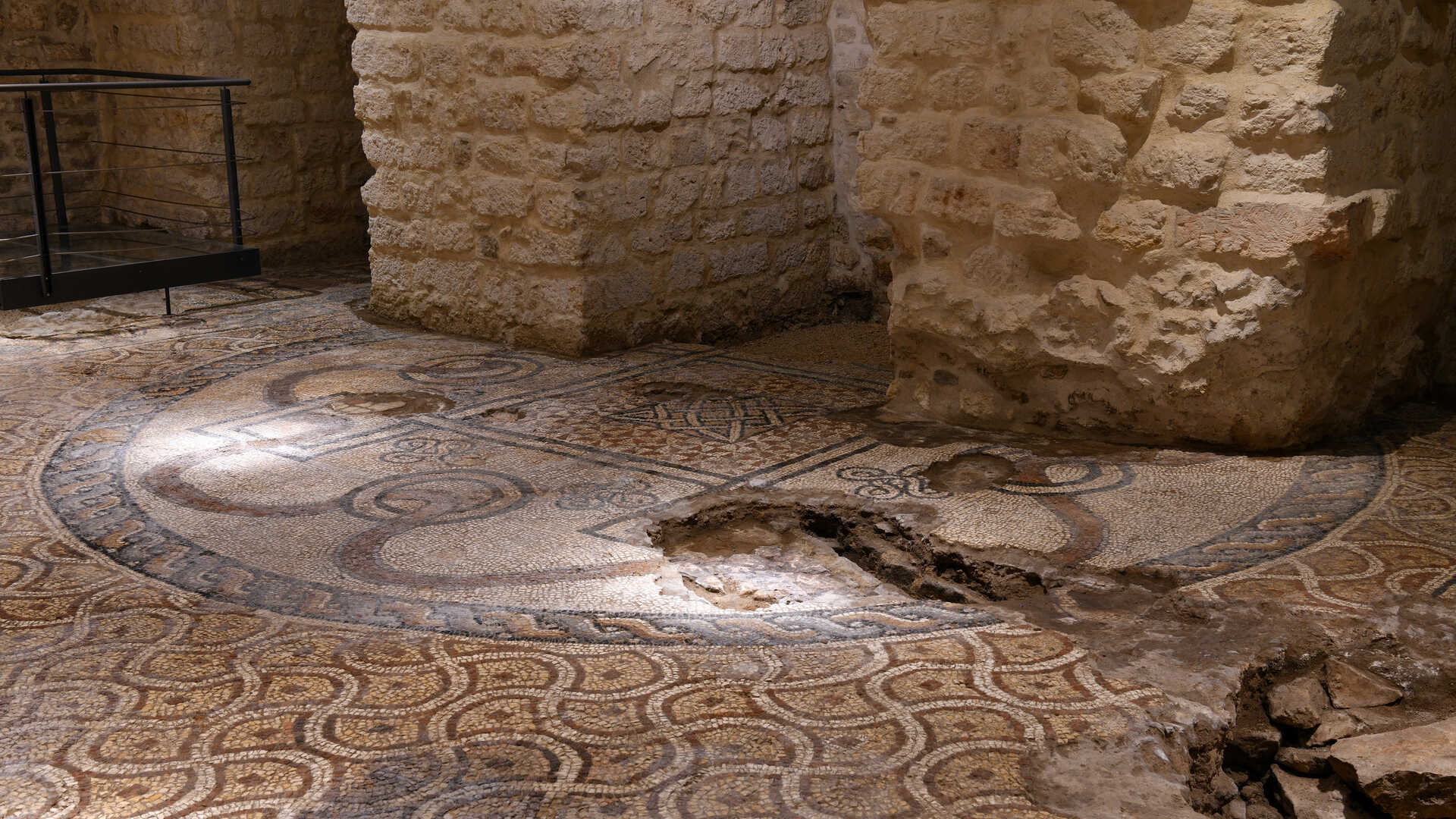
Museo Fondazione Ettore Pomarici Santomasi
Puglia
Old town Risan
Montenegro
85 337 Risan, Kotor
Old Ulcinj Island
Montenegro
85 360 (Kruci, Ulcinj)
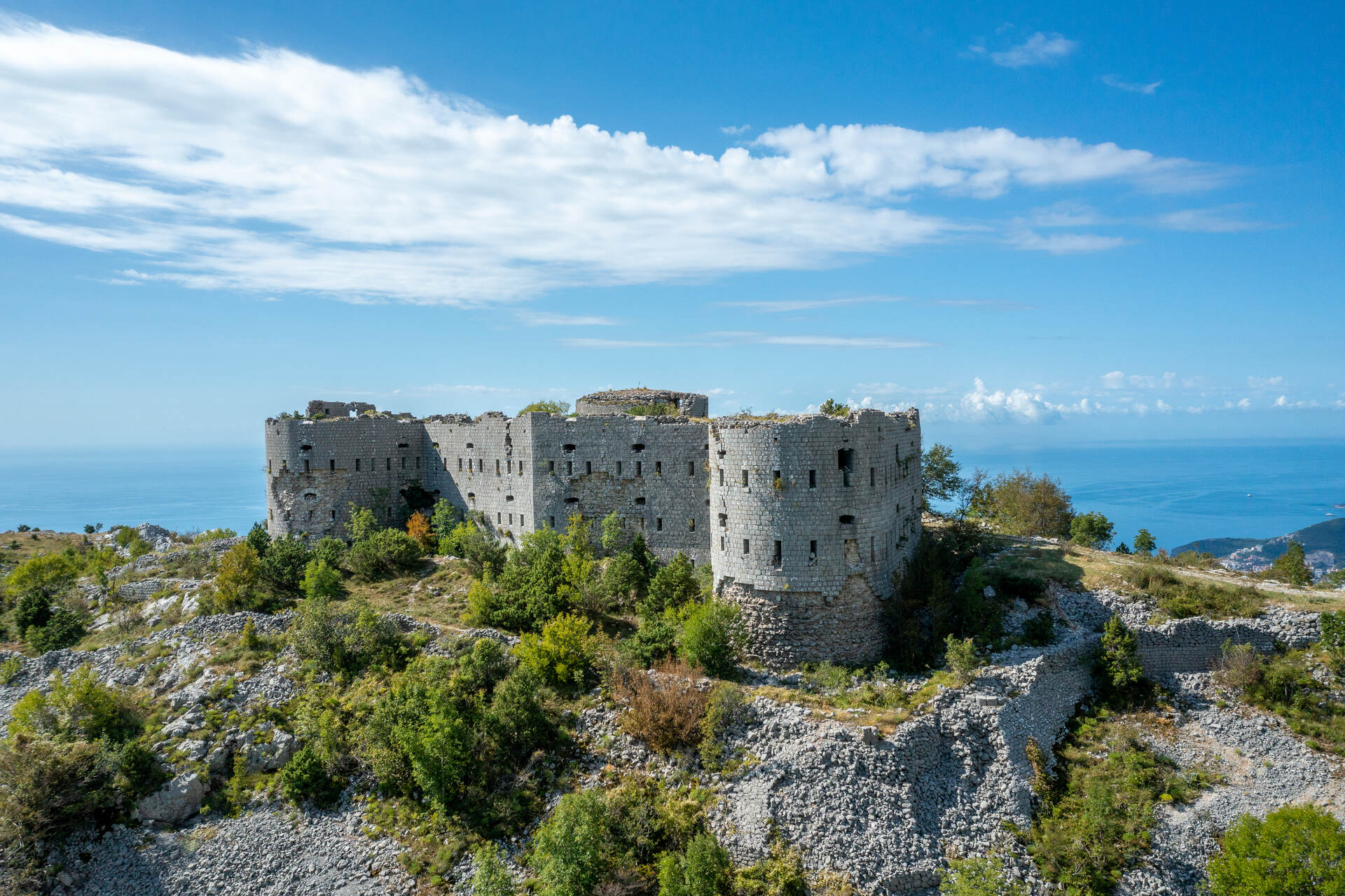
Kosmač Fortress
Montenegro
85310 Budva