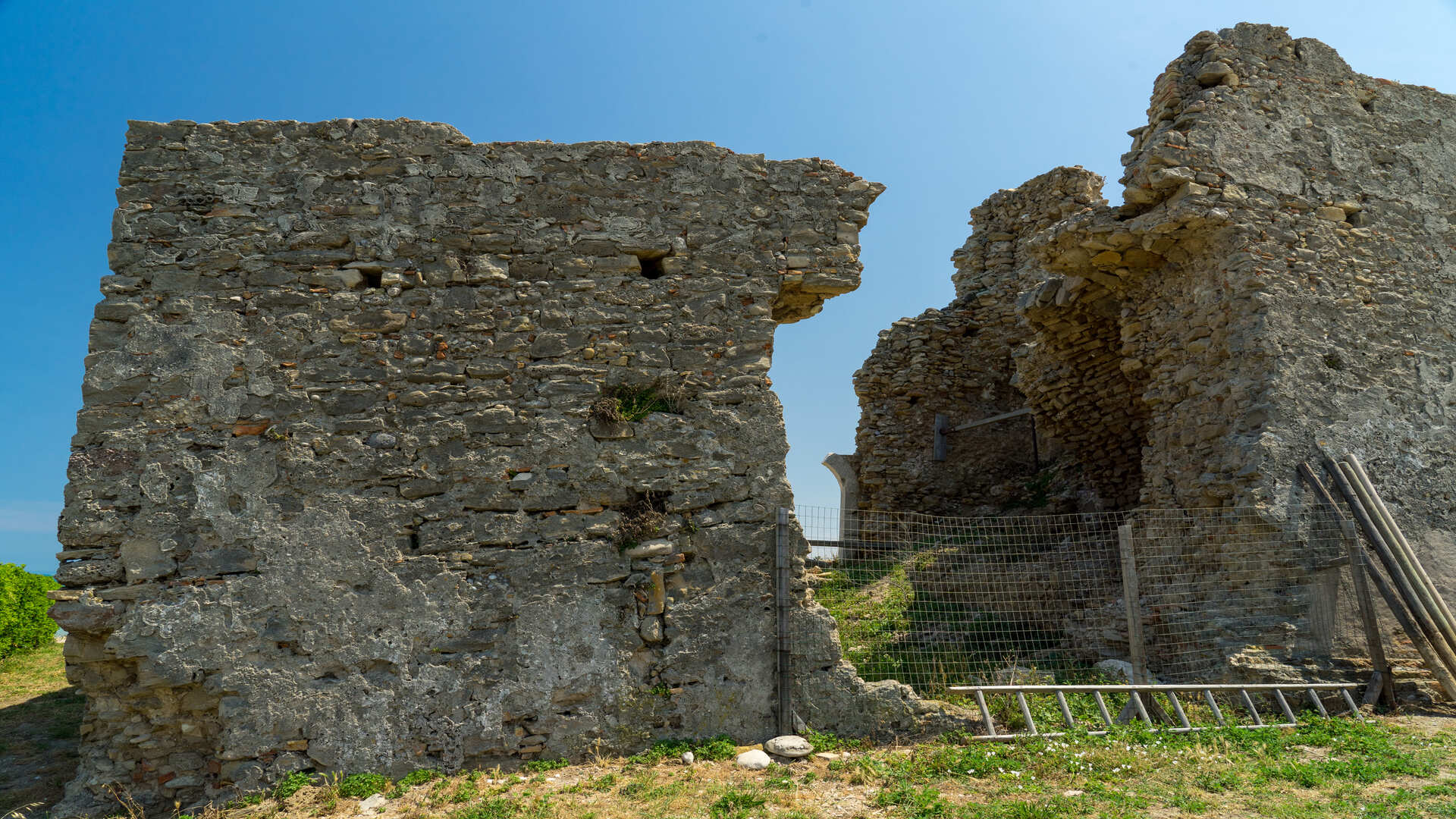
The Coastal Tower of Petacciato rises along the State Road that runs along the Adriatic Sea (SS 16), towards the side of the coast, at the same level of the road and at about 7 meters above sea level. Situated at the foot of the homonymous Marina di Petacciato, this tower is the last tower of a defensive system against the Turks, the twenty-fifth according to the numbering given by Gambacorta. It communicated to the north with the Trigno Tower, 6-8 km away and to the south with the Sinarca Tower, 6.5 km away.
Wanted by Charles V in the XVI century, the tower is located in a privileged position and it is the result of precise strategic choices. In fact, all the towers had to have the view on all four sides and to be in visual connection with each other and with the villages behind. Its architectural form falls into the typology of towers of the Spanish viceroyal period, with a quadrangular base of about 11 meters per side, with a truncated pyramidal body of about 12 meters and with three machicolations per side. From the plan drawn by Gambacorta, the rooms would be wider than usual, as a result of the lower thickness of the walls. It is the first tower you meet from the north towards the Capitanata, completely made of stones.
Today the tower is split into two sections by a landslide, the stretch of coastline that surrounds it, at least for a couple of kilometers, is affected by landslide phenomena. Of the two sections, the one placed on the side of the road has remained almost stationary, while the one in front of it, on the sea side, has undergone a lowering of about 2 meters and a translation towards the beach of about 4 meters, with a clockwise rotation.
36 I Luoghi della Storia - Torre Costiera di Petacciato
Back 36 I Luoghi della Storia - Torre Costiera di Petacciato

