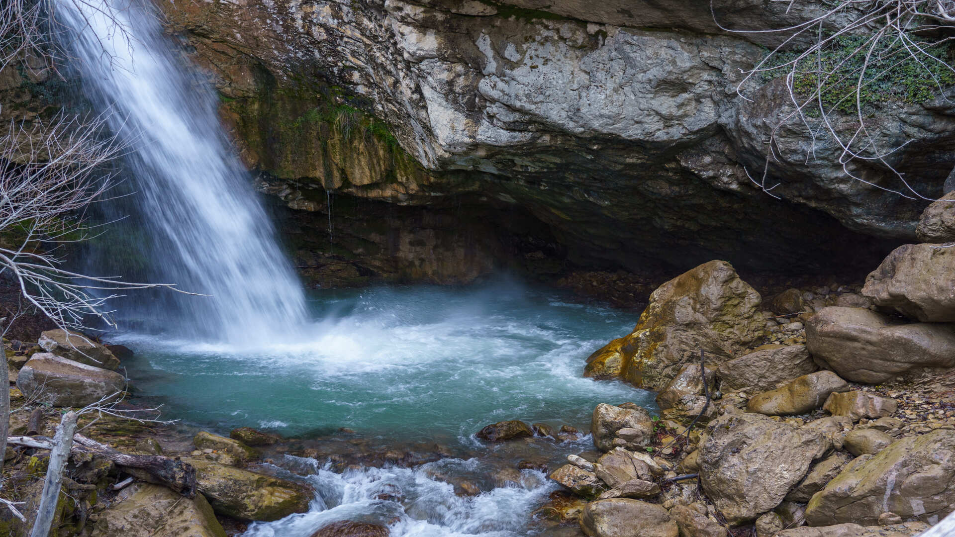
The Verrino river has its source in the territory of Capracotta, in the locality of Ara Petrecca, at an altitude of 1250 meters above sea level, in the territory of Agnone it flows into the Trigno river, at an altitude of 450 meters above sea level.
The Verrino is a torrential watercourse, whose flow rate shows significant variations during the year, the basin covers a total of 700 hectares and is 24 kilometers long.
After the long bridge of Agnone, the river loses its torrential character and then flows into the river Trigno in Sprondasino. Inserted in the list of the Ministry of the Environment (Natura 2000), due to its rare ecosystem, it is a zone subject to special protection (ZPS). In the first stretch of the river has a difference in height of about 300 m in just 4 km, here the orography of the places makes the formation of a series of waterfalls and cascades particularly suggestive. The presence of an almost intact and uncontaminated fauna and flora make the upper part of the Verrino river one of the most beautiful and naturally preserved places in Molise.
1 I Luoghi Estremo - Cascate del Verrino
Back 1 I Luoghi Estremo - Cascate del Verrino

Virtual tour
Location
Related resources
Due Mari Adventure
Protected natural resources, lakes, rivers, mountains, or coastal natural heritage, will make your trip even more worthy and enjoyable.
The itinerary is entertaining and also breathtaking, with an emphasis on valuing different kinds natural and preserved resources.
Extremes places
The ideal itinerary for lovers of extreme places, some unreachable, others walkable only if accompanied by expert guides. In this ideal path formed by caves, glacial pools formed over the millennia, waterfalls and meadows surrounded by green mountains, you can perceive the soul of one of the greenest regions in Europe.
