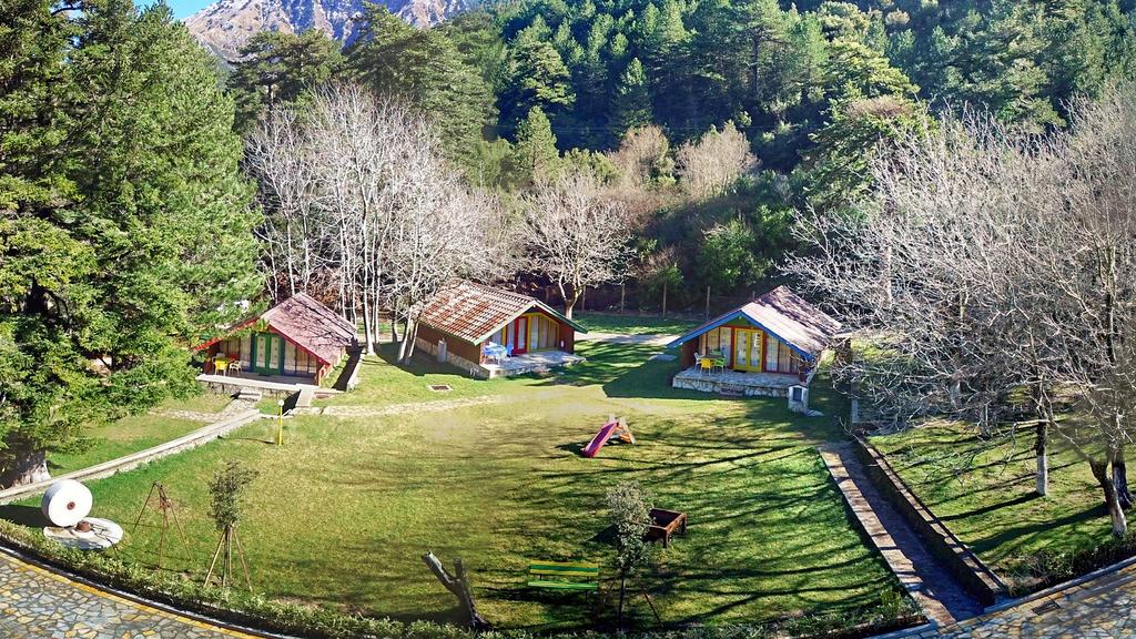
In 1966 the national park of Llogara was declared a cultural monument. It lies in Vlore southwestern Albania, along the lonian sea, taking up a surface of 1020 ha. The park is covered with a dense forest and it starts at the end of the plain of Dukati and continues up to the pass of Llogara. The tree most popular is the black pine which is also characteristic of the park. The forest of the park is home of an interesting fauna. There are also diverse bird species with two of the highlighted sightings being the powerful golden eagle and the griffon vulture. Over 100 different types of wild animals and birds including: deer, wild cats, foxes, etc are found in the Park; this is why the park is known from its vibrant flora and fauna. Some of the activities visitors can do include: amazing hiking opportunities in the rugged mountains, experience colder temperatures and engage the sun and warmer weather along the beautiful coastline. At the heart of the national park there are the Ceraunian Mountains which offers the possibility of hiking and trekking amongst. The mountains of the national park are part of the larger Ceraunian Mountain range situated in southwestern Albania. The range stretches over a distance of 62 miles (100 km) running mostly in a southeast to northwest direction. As mentioned above one of the main ttractions and one of the best ways to truly experience the splendor and majestic nature of the mountains is hiking and some of the trails are: Caesars Neck-Ponace Spring Trail - one of the most popular because it reflects the historical significance of being the place where Caesar’s army encamped to fight against Pompeii. It is considered as not too difficult covering a distance of 2.4 miles (4 km) before returning; Llogara Maja Thanasit Trail: Rated moderate and travels out 4.6 miles (km) with an elevation gain of 1,141 feet (347.8 m) before returning back. The trail is leveraged for physical activity and scenic views of the gorgeous terrain; Thanas Peak Trail: A (7.2 km) loop trail that is rated moderate. It features an elevation gain of 4,550.5 (1,387 m). The trail meanders through the forest before ascending up the summit where amazing panoramic views will be experienced; Piri Holes Trail: even this trail is rated moderate featuring an elevation gain of 3,231.6 feet (985 m) while traveling over (7.37 km) before returning back.
Llogara National Park and Hiking Llogara
Back Llogara National Park and Hiking Llogara

